
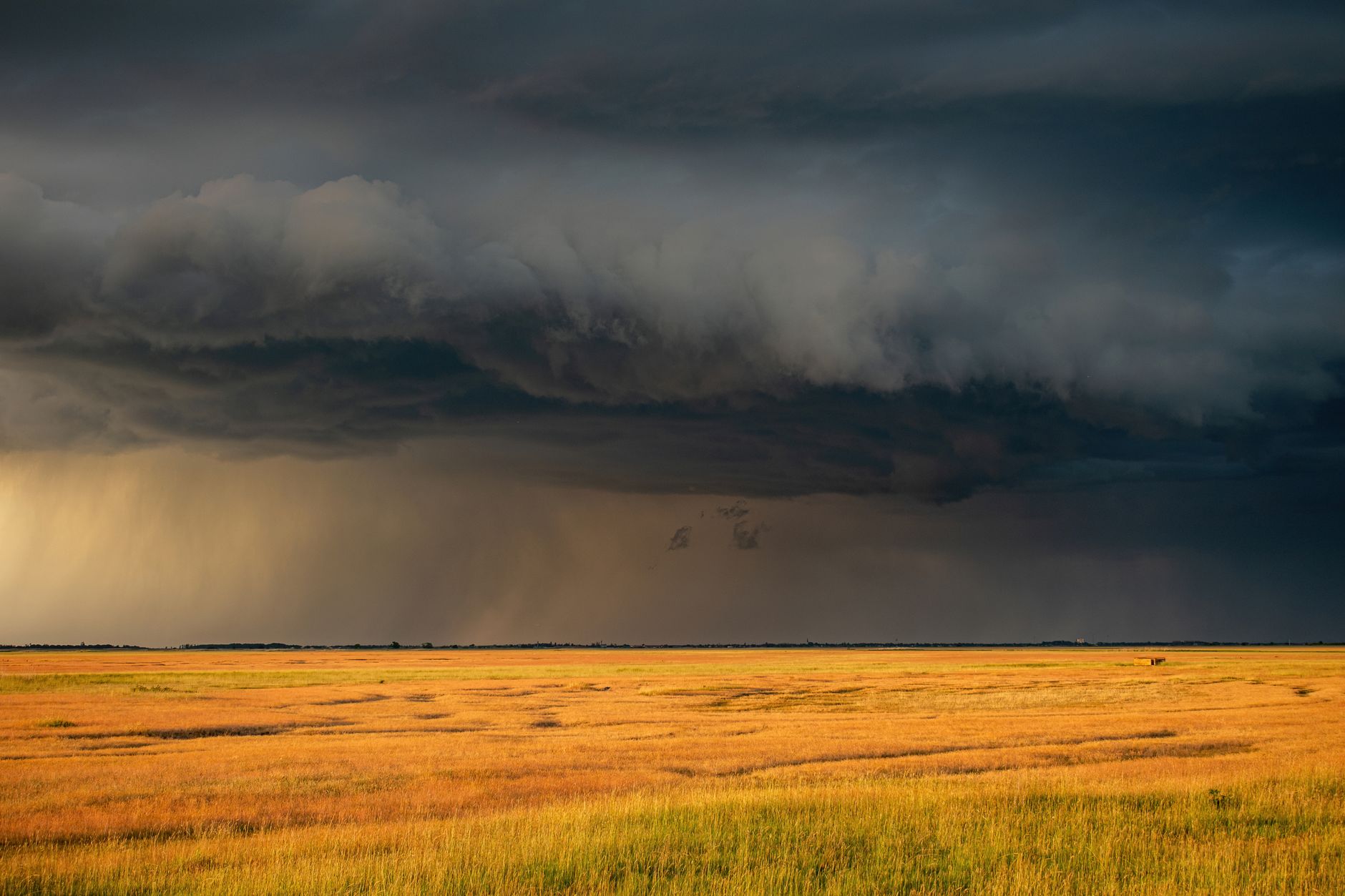
The Canadian Prairies are experiencing a dramatic surge in severe weather this year. The rising frequency of Alberta tornadoes has caught the attention of meteorologists and residents alike. Across the three prairie provinces, officials have already confirmed 48 tornadoes this season.
This figure far exceeds the long-term annual average of 34 storms. You will learn about the atmospheric triggers driving this spike and how communities can prepare.
- The Canadian Prairies have recorded 48 tornadoes this year, well above the historical average of 34.
- Meteorologists attribute the surge to a unique combination of extreme heat, high humidity, and wind shear.
- Alberta remains a primary hotspot for these severe weather events within the region.
- Enhanced local emergency planning is now critical for vulnerable communities.
Historically, the Canadian Prairies have always been susceptible to violent summer storms. However, recent seasons have shown a marked increase in storm intensity and frequency.
This year’s rapid escalation has caught many local municipalities off guard. Experts note that the active storm season started much earlier than usual.
Consequently, the sudden rise in activity highlights a shifting pattern in regional weather systems. These changes demand closer scientific scrutiny and better public awareness.
Why are prairie tornadoes spiking so rapidly?
Meteorologists point to a highly volatile mix of atmospheric conditions across the region. Warm, moist air from the United States has consistently collided with cooler northern fronts.
Additionally, strong wind shear has allowed rotating storms to develop more easily. This combination creates the perfect breeding ground for powerful supercells.
As a result, simple thunderstorms quickly escalate into dangerous, long-lived tornadic events.
Furthermore, local topography plays a significant role in channeling these winds. The flat prairie landscape offers little resistance to advancing storm fronts.
Therefore, once a storm system gains rotation, it can sustain itself over vast distances. This geographic factor explains why so many storms have touched down recently.
How does this active season compare to previous years?
Historically, the region expects about 34 tornadoes over an entire year. Reaching 48 storms before the season ends represents a massive statistical jump.
To understand these shifts, researchers analyse long-term climate trends. You can review historical weather patterns through the Environment and Climate Change Canada weather tracking data.
This comparative data reveals that both storm frequency and intensity are climbing. Furthermore, the geographical spread of these storms is expanding outward.
In previous decades, tornado activity remained confined to specific zones. Today, storms are appearing in areas that rarely experienced them before.
This expansion suggests a broader shift in the regional climate regime.
What are the primary drivers behind the “perfect concoction”?
Three main ingredients must align to produce a tornado. First, abundant moisture in the lower atmosphere acts as primary fuel.
Second, high instability in the air column allows clouds to grow rapidly. Finally, a trigger, such as a cold front, initiates the upward movement.
Recently, these three factors have aligned far more frequently than in previous decades. This alignment explains why even minor weather systems are turning severe.
In addition, unseasonably warm lake temperatures have contributed extra moisture to the air. This moisture feeds developing storms, making them much more volatile.
Consequently, the atmosphere remains highly charged for days at a time. This prolonged instability leads to multiple tornado outbreaks in a single week.
What do these storm patterns mean for local communities?
For residents, the immediate threat to life and property has increased significantly. Agriculture is also facing severe risks from crop damage and heavy hail.
Therefore, local governments are actively upgrading their early warning systems. Emergency management teams urge residents to create household safety plans.
Ultimately, adapting to this active weather pattern requires continuous vigilance and better infrastructure.
Insurance companies are also adjusting their risk models to account for higher claims. The financial toll of these storms continues to rise annually.
As a result, building codes may need to evolve to withstand stronger winds. Protecting homes and businesses is now a top priority for developers.
How can residents prepare for future severe weather?
Preparation starts with staying informed about daily weather forecasts. Residents should monitor local alerts and have a designated safe space.
Having an emergency kit with essential supplies is also highly recommended. This kit should include water, non-perishable food, and a first-aid kit.
Additionally, securing loose outdoor items can prevent them from becoming dangerous projectiles. Taking these simple steps can significantly reduce injury risks during a storm.
Looking ahead, scientists expect these volatile atmospheric conditions to persist. Building resilient infrastructure will be key to mitigating future storm damage.
By understanding these shifting weather patterns, Prairie communities can better protect themselves. Adapting to this new meteorological reality remains a vital priority for everyone in the region.
As researchers gather more data, predictive models will continue to improve. This ongoing scientific effort offers hope for better warning times and safer communities.


