
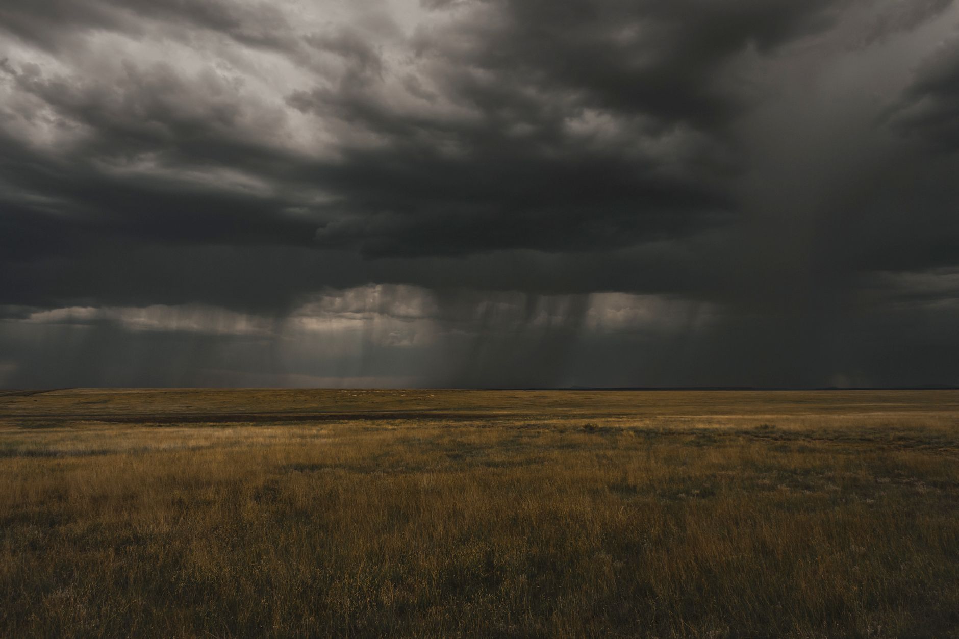
Emergency agencies have issued critical warnings as severe thunderstorms in Alberta threaten the Edmonton region with potential tornadoes. Residents across central Alberta must prepare for volatile weather conditions developing rapidly this afternoon. In this article, you will learn about active meteorological threats, essential safety protocols, and how to monitor real-time updates.
- Overlapping weather advisories warn of severe thunderstorms and potential tornado activity in central Alberta.
- The highest risk window begins in the late afternoon as atmospheric instability peaks.
- Local authorities urge residents to secure loose outdoor property and identify safe indoor shelters.
- Utility providers are on standby to address potential infrastructure damage from high winds.
Why is central Alberta facing heightened tornado risks today?
Atmospheric conditions across the province have destabilized rapidly over the past twenty-four hours. A powerful low-pressure system is currently colliding with a warm, humid air mass moving from the south.
Consequently, this collision creates the perfect environment for supercell development. Supercells are highly organized thunderstorms characterized by rotating updrafts.
These rotating winds can quickly descend to the ground, forming dangerous tornadoes. Local meteorologists warn that these conditions can change within minutes, making early preparation vital.
What areas face the highest risk of severe weather?
The primary threat corridor extends across central portions of the province, directly encompassing the greater Edmonton area. Surrounding municipalities are also under active monitoring by weather specialists.
Historically, this region is susceptible to sudden summer storm developments due to its unique geography. Cold air from the Rocky Mountains often clashes with warm prairie winds right over these communities.
Therefore, residents in both urban centres and rural areas must remain equally alert. Do not assume city infrastructure provides protection against severe wind events.
How should you prepare your home and family?
Preparation remains the most effective defense against severe weather anomalies. First, establish a household emergency plan with a designated safe room.
Ideally, this space should be in a basement or an interior ground-floor room. Avoid rooms with windows, as flying debris poses the greatest danger during high-wind events.
Next, assemble an emergency kit containing water, non-perishable food, and a battery-powered radio. Ensure your mobile devices are fully charged to receive wireless public alerts.
What does the scientific data say about these storm patterns?
Meteorological models indicate that wind shear is exceptionally high in the lower atmosphere today. This shear provides the rotational energy required to sustain intense storm cells.
According to official data tracked by Environment and Climate Change Canada weather services, these patterns frequently yield torrential rainfall. This heavy precipitation can drastically reduce visibility on major highways like the Queen Elizabeth II Highway.
Additionally, large hail remains a significant threat to vehicles, crops, and residential roofing systems. Property owners should secure loose outdoor items immediately to prevent them from becoming dangerous projectiles.
What are the immediate implications for regional infrastructure?
Severe wind gusts pose an immediate risk to local power grids and transit networks. Utility companies in the Edmonton area have already positioned emergency crews to address potential blackouts.
Furthermore, torrential downpours can overwhelm municipal drainage systems, leading to sudden localized flooding. Drivers must exercise extreme caution, as waterlogged roads significantly reduce vehicle traction.
Public transit schedules may also experience delays if debris blocks major roads or rail lines. Commuters should check local transit alerts before beginning their afternoon journeys.
How do emergency services coordinate during severe weather alerts?
Local municipal offices activate emergency operations centres as soon as severe watches upgrade to warnings. These centres coordinate police, fire, and medical responses to storm-affected areas.
Additionally, they work closely with provincial authorities to dispatch resources where they are most needed. This coordinated effort ensures rapid response times for clearing debris and restoring essential services.
Furthermore, communication teams continuously broadcast safety updates through social media and local news outlets. Staying informed through these verified channels is crucial during active weather emergencies.
What long-term trends are climate scientists observing in Alberta?
In recent years, researchers have noted shifting patterns in convective storm frequency across Western Canada. Warmer average temperatures contribute to higher atmospheric moisture levels over the prairies.
Consequently, this moisture fuels more intense convective storms during the summer months. While the total number of storm days may not increase, the severity of individual events often intensifies.
Therefore, municipal planners are actively updating building codes to withstand stronger wind forces. Investing in resilient infrastructure is becoming a priority for communities across the province.
Remaining vigilant during these atmospheric events is vital for personal safety. Monitor local broadcast channels and official weather applications for immediate updates as the storm system evolves. By understanding the risks and acting swiftly, communities can successfully navigate these volatile weather patterns.


