
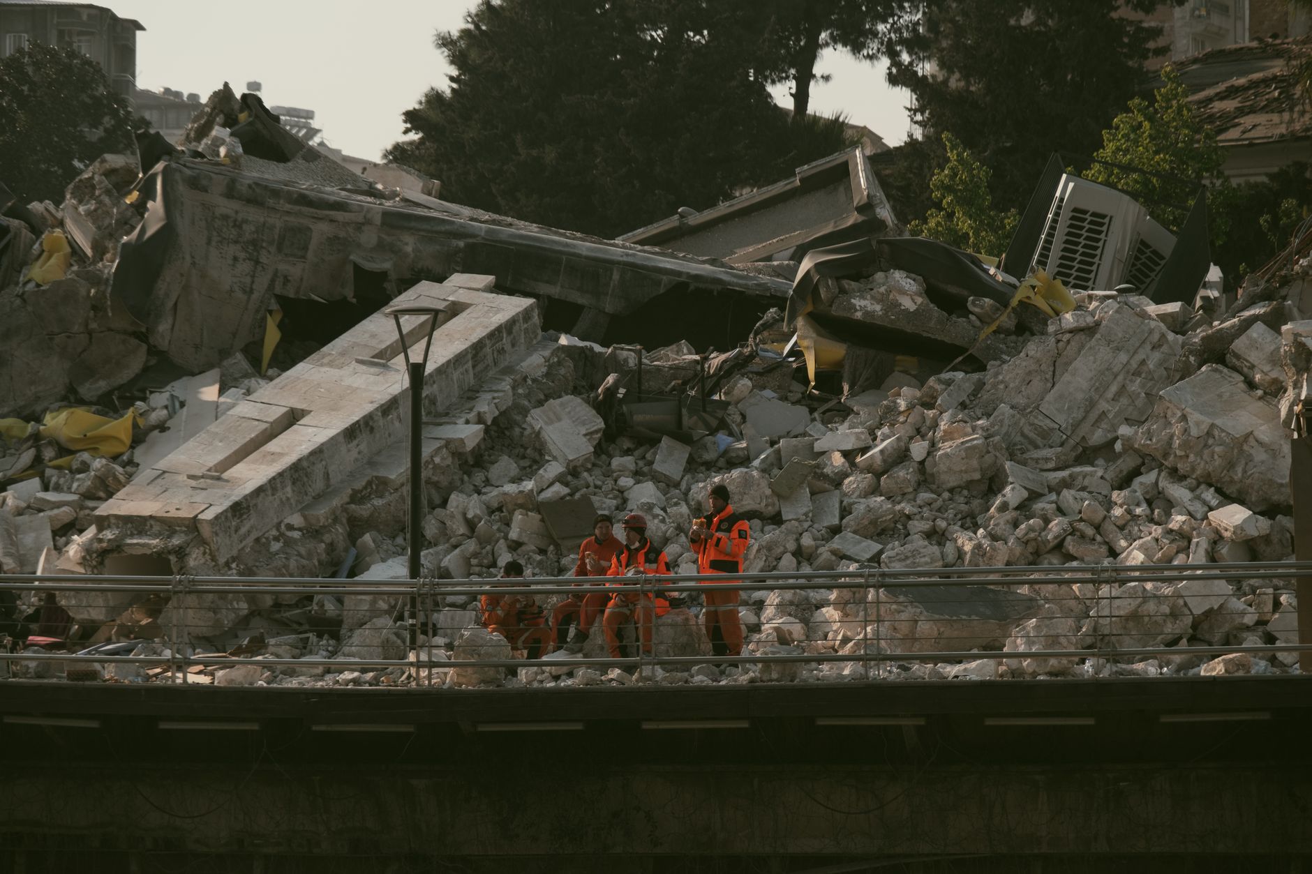
A series of powerful earthquakes recently struck opposite ends of the Indonesian archipelago. The tremors claimed at least 40 lives on Flores Island. This sudden disaster damaged scores of buildings and triggered urgent humanitarian efforts. In this report, readers will learn about the Flores Island earthquake impacts and the ongoing regional emergency response.
- At least 40 people are confirmed dead following powerful earthquakes on Flores Island.
- The dual seismic events struck opposite ends of the vast Indonesian archipelago.
- Dozens of residential and public buildings suffered severe structural damage.
- Emergency teams are navigating blocked roads to deliver critical medical aid.
Indonesia sits directly on the highly active Pacific Ring of Fire. This geographic position makes the nation highly susceptible to frequent volcanic and seismic activity. Recently, tectonic shifts triggered massive tremors across several islands.
The most devastating impact occurred on Flores Island. Local authorities confirmed that at least 40 individuals lost their lives during the main tremor. Dozens of others sustained severe injuries as homes collapsed.
Search and rescue operations began immediately after the shaking stopped. However, damaged infrastructure has slowed down these vital rescue efforts. Landslides blocked crucial roads, cutting off remote villages from the regional centre.
Historically, Flores Island has faced similar natural disasters in past decades. The local population has developed a strong sense of community cooperation during crises. Nevertheless, the sheer scale of this latest event has tested local coping mechanisms.
Why is the Indonesian Archipelago Vulnerable to Multiple Quakes?
The archipelago sits at the intersection of several major tectonic plates. These plates constantly move, grind, and collide against one another.
According to seismic monitoring data from the United States Geological Survey, this region experiences intense tectonic pressure. When these plates suddenly slip, they release massive amounts of energy.
This energy travels through the Earth as destructive seismic waves. The recent dual earthquakes demonstrate how stress can trigger events on opposite sides of the country.
Geologists are currently studying whether these two events are directly linked. Simultaneous quakes on opposite ends of the archipelago remain relatively rare. However, stress transfer along fault lines can occasionally trigger secondary events.
What is the Current Situation on Flores Island?
Flores Island bore the brunt of the recent seismic energy. Hospitals in the area are currently overwhelmed with injured residents. Medical staff are working around the clock in temporary outdoor tents.
Many residents fear returning to their homes due to ongoing aftershocks. Local officials have urged the public to remain highly vigilant. Temporary shelters are being set up in open parks and sports fields.
Clean water and food supplies are currently running low in affected districts. Power outages have also plunged several communities into total darkness. Communication networks remain unstable, complicating family reunification efforts.
How are Emergency Crews Responding to the Crisis?
The Indonesian government has deployed military personnel to assist civilian rescue teams. Heavy machinery is being moved to clear debris from blocked highways. Air assistance is also being used to reach isolated mountainous communities.
Neighbouring nations have offered immediate financial and logistical support. Non-governmental organisations are distributing emergency survival kits to displaced families. These kits contain blankets, clean water, and basic hygiene products.
Disaster management officials are prioritising the restoration of the electrical grid. Power is essential for running life-saving equipment in regional medical centres. Engineers hope to restore basic services to the main towns very soon.
Volunteers are setting up communal kitchens to feed thousands of displaced people. Local businesses are donating food, clothing, and temporary building materials. This grassroots support is proving crucial while official aid distribution scales up.
What Role Does Local Geography Play in Disaster Relief?
The rugged terrain of Flores Island presents unique challenges for emergency responders. Steep volcanic slopes are highly prone to secondary landslides during seismic events. These landslides can completely bury vital transport links within minutes.
Consequently, maritime transport has become a critical alternative for delivering aid. Small boats are ferrying emergency supplies to coastal villages. This coastal strategy bypasses the blocked mountain passes entirely.
Helicopters are also playing a vital role in medical evacuations. They transport critically injured patients to larger hospitals on neighbouring islands. This coordinated effort is saving lives despite the challenging geography.
How Can Communities Better Prepare for Future Events?
Community education remains the most effective tool for mitigating natural disasters. Local schools are incorporating safety drills into their regular programmes. Children learn how to protect themselves during sudden ground movement.
Furthermore, local authorities are establishing designated safe zones in every village. These open areas are located far from potential landslide paths. Signs clearly mark the quickest evacuation routes for residents.
Investing in local emergency stockpiles is another critical step forward. Storing food and medical supplies locally reduces reliance on external aid. This approach ensures immediate relief is available during the first critical hours.
What Environmental Factors Influence Seismic Activity in the Region?
The Indonesian region is characterised by complex geological structures. Subduction zones, where tectonic plates slide beneath one another, drive the activity. These deep ocean trenches generate immense pressure over long periods.
When this pressure is released, it often triggers high-magnitude earthquakes. Volcanic activity on islands like Flores further complicates the local geology. Magma movement can sometimes trigger minor tremors or destabilise existing fault lines.
Scientists continue to monitor these interactions using advanced satellite technology. This research helps map active faults with high precision. Over time, these models will improve regional hazard assessment accuracy.
What are the Long-term Implications for Regional Infrastructure?
This disaster highlights the urgent need for seismic-resistant construction in remote areas. Many collapsed buildings lacked the reinforcement needed to withstand major tremors. Upgrading local building codes remains a significant challenge for developing regions.
Urban planners must now re-evaluate safety standards for public schools and hospitals. Ensuring these structures remain standing during disasters is vital for saving lives. Future development programmes will likely focus heavily on community resilience.
Additionally, early warning systems require continuous funding and technological upgrades. Even a few seconds of warning can allow people to evacuate safely. Educating local populations on earthquake drills also remains a top priority.
International climate and geological agencies are closely monitoring the region. They aim to understand how changing environmental factors might influence tectonic stress. Their findings will help shape future disaster preparedness frameworks globally.
As recovery efforts continue, the resilience of the Flores Island community shines through. Local volunteers are working tirelessly alongside international teams to rebuild their lives. This tragedy serves as a stark reminder of nature’s unpredictable and immense power.


