
On May 15, 2026, the Saskatchewan Water Security Agency (WSA) reported a significant improvement in the provincial Saskatchewan flood forecast. Most waterways are seeing receding flows, allowing communities to shift from mitigation to recovery. However, high water levels persist in the Churchill River and Lac La Ronge areas due to delayed northern melt cycles. Residents in these northern regions must remain vigilant as peak flows have not yet passed.
“While the overall provincial outlook is improving, the northern basins require continued monitoring due to unique drainage patterns.” – WSA Spokesperson.
In this update, you will learn about the specific regions entering the cleanup phase and the ongoing risks in the Churchill River system. We will also examine the safety protocols required for post-flood recovery in 2026.
- Receding water levels in southern and central Saskatchewan allow for immediate cleanup efforts.
- The Churchill River and Lac La Ronge remain at high risk for continued flooding.
- Homeowners must document all damage before starting any structural repairs.
- Water quality testing is essential for those using private wells in affected zones.
How is the 2026 Saskatchewan flood forecast changing?
The latest data indicates that the spring melt has stabilized across the majority of the province. Warmer daytime temperatures and cool nights have created a controlled runoff environment this year. Most southern river systems have already peaked and are now returning to seasonal norms. This shift allows provincial authorities to reallocate resources to northern infrastructure protection.
Municipalities are now transitioning from sandbagging operations to debris removal. Local government agencies are coordinating with environmental specialists to ensure safe waste disposal. The WSA notes that soil saturation levels are decreasing in the grain belt. This trend reduces the risk of secondary flooding from late spring rain events.
Where do water levels remain a concern in Northern Saskatchewan?
The Churchill River system operates on a different timeline than southern provincial waterways. Large lake systems in the north act as reservoirs, delaying the movement of peak volumes. Consequently, Lac La Ronge is currently experiencing rising levels that challenge existing shoreline protections. Officials expect these levels to remain high well into the month of June.
Hydrologists at the Water Security Agency are monitoring inflow rates from the Alberta border. They use satellite imagery and ground sensors to predict downstream impacts. Current modelling suggests that while the peak is near, the duration of high water will be extended. This prolonged saturation increases the risk of bank erosion and tree instability near the water’s edge.
What steps should residents take during the cleanup phase?
Safety is the primary concern during the initial recovery period. Residents should not enter flooded basements until an electrician confirms the power is safely disconnected. Standing water often contains contaminants or hidden debris that can cause injury. Protective equipment, including gloves and masks, is necessary when handling water-damaged materials.
Documentation is a critical step for insurance and provincial disaster assistance claims. Take detailed photographs of all damage before moving any items. Keep a log of all labour hours spent on cleanup activities. These records provide essential evidence for adjusters and government evaluators during the claims process.
Proper drying of structures is vital to prevent long-term mould growth. Use industrial fans and dehumidifiers to circulate air in dampened areas. Remove drywall and insulation at least 50 centimetres above the highest water line. This proactive approach ensures that moisture trapped behind walls does not cause secondary health issues.
How do current data points support the recovery effort?
Historical data from the 2011 and 2014 flood events have informed the 2026 response strategy. The WSA reports that current flow rates in the Qu’Appelle Valley are 20% lower than the ten-year average. This capacity allows for more aggressive drainage management in central regions. Engineers are currently inspecting bridges and culverts for structural integrity after the ice jam season.
In the north, the data shows a different story. Lac La Ronge is currently sitting at 0.4 metres above the preferred operating range. This necessitates continued use of temporary flood barriers in low-lying residential areas. Monitoring stations along the Churchill River report that inflow remains steady, suggesting a slow decline in water levels over the coming weeks.
What are the long-term implications for Saskatchewan infrastructure?
The 2026 flood season highlights the need for resilient infrastructure in northern communities. As climate patterns shift, the frequency of high-flow events in the Churchill basin may increase. This trend prompts a re-evaluation of building codes and shoreline setbacks for new developments. Investing in permanent flood mitigation today reduces the financial burden of future recovery efforts.
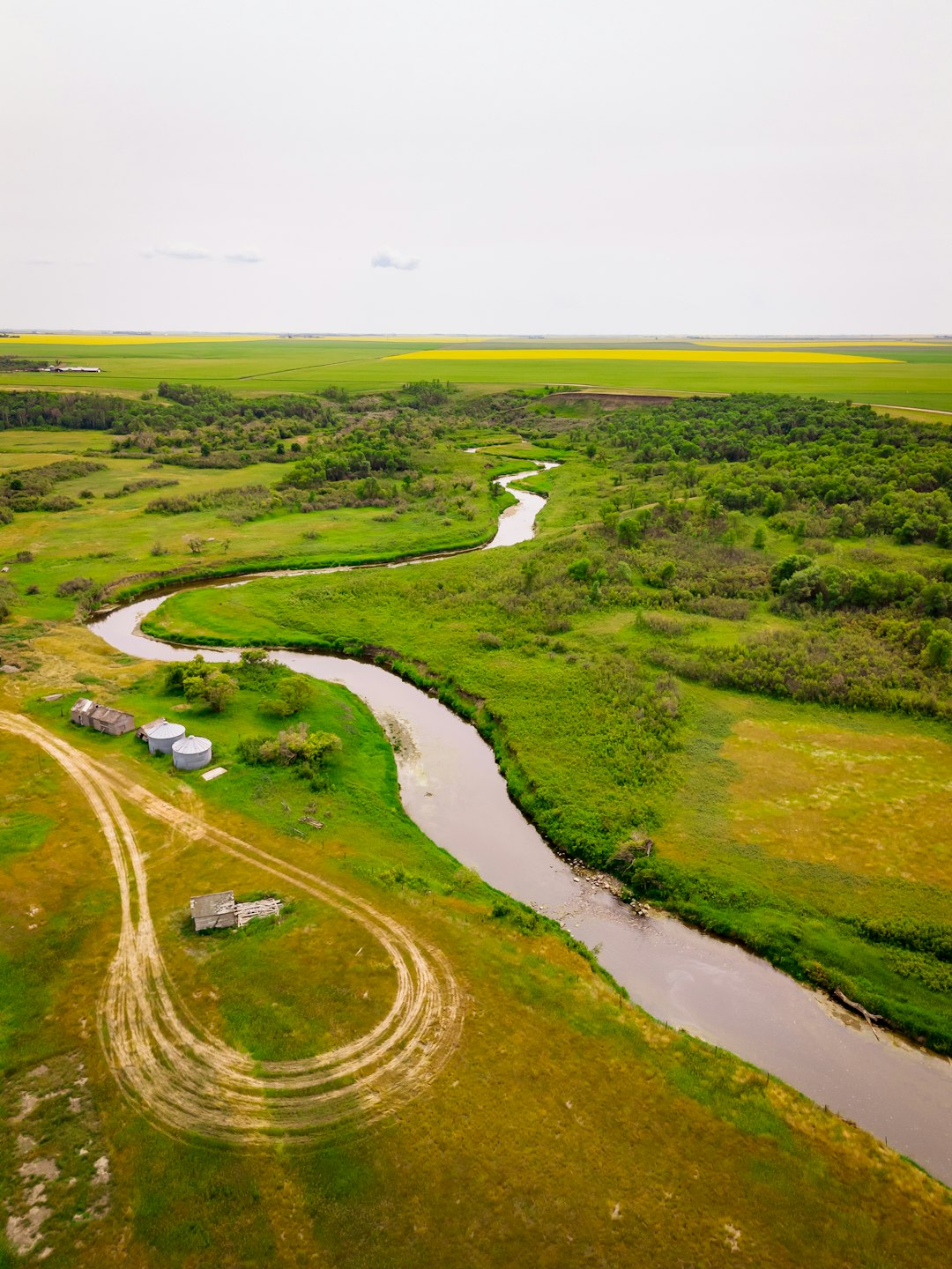
For the agricultural sector, the receding waters bring a mix of relief and challenge. While the flood risk is ending, some fields remain too wet for early seeding. Farmers are adjusting their schedules based on local soil moisture maps provided by provincial agronomists. These maps help producers identify which sections of their land will be viable for the 2026 growing season.
Community cooperation remains the most effective tool in managing natural disasters. Local authorities continue to provide updated maps and safety bulletins through digital platforms. By following these guidelines, residents can ensure a faster return to normalcy while protecting the most vulnerable areas. Stay informed by checking local advisories frequently as the northern melt continues its slow progression toward the summer months.