
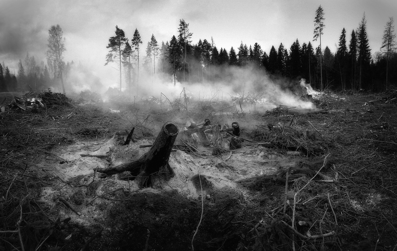
Emergency responders across Saskatchewan are battling a sudden surge in wildfire activity this May 2026. This crisis follows record-breaking spring snowmelt that recently caused significant flooding. The province’s transition from moisture-heavy conditions to extreme fire risk has put the majority of the region under immediate threat. Low humidity levels and rising temperatures are the primary drivers of this rapid environmental shift.
This report explores current Saskatchewan wildfire risk levels and the impact of low humidity on forest fuels. You will learn how provincial crews are managing the rapid shift in climate conditions. We also examine the data supporting these emergency declarations to help residents prepare for a volatile season.
- Extreme wildfire risk currently affects over 70% of Saskatchewan’s landmass.
- Humidity levels have dropped below 20% in southern and central regions.
- Provincial crews are already suppressing multiple active blazes near the boreal fringe.
- The rapid transition from flood to fire is straining emergency resource allocation.
Why is Saskatchewan facing extreme wildfire risk after a wet spring?
The current situation represents a phenomenon known as weather whiplash. Heavy winter snowpack and subsequent spring flooding initially saturated the ground. However, a persistent high-pressure ridge has quickly dried out surface vegetation. Dead grass and pine needles now act as volatile tinder across the province.
Humidity plays a critical role in this transition. When relative humidity drops, fine fuels lose moisture to the atmosphere within hours. This process makes them highly susceptible to ignition from lightning or human activity. Current data indicates that moisture levels in the upper soil layers are evaporating at record speeds.
Meteorologists note that the lack of significant rainfall since the floods ended is unusual. This dry spell has allowed the wildfire risk to escalate much faster than historical averages. Officials are closely monitoring these atmospheric conditions to predict fire behaviour in real-time.
How are provincial crews responding to early-season fires?
The Saskatchewan Public Safety Agency (SPSA) has already deployed rapid-response teams to several locations. These crews are focusing on containment near high-value infrastructure and residential areas. Aerial tankers are supporting ground efforts by dropping retardant to slow fire progression. Early detection remains the primary strategy for preventing large-scale disasters.
Resource management is currently the top priority for emergency coordinators. Because some regions are still recovering from flood damage, logistics are increasingly complex. Crews must navigate washed-out roads to reach remote fire starts. This dual-threat environment requires a highly flexible deployment strategy.
The Saskatchewan Public Safety Agency wildfire reports provide daily updates on active fires and containment status. These official records show a marked increase in human-caused ignitions compared to last year. Consequently, fire bans are now in effect for many provincial parks and municipalities.
What do these humidity levels mean for community safety?
Low humidity does more than just dry out the forest. It also allows fires to burn more intensely and spread with greater speed. Under these conditions, spot fires can jump kilometres ahead of the main fire front. This unpredictability makes evacuations more difficult for rural communities.
Residents must understand that traditional fire breaks may not be sufficient this year. High winds often accompany low-humidity systems, further complicating suppression efforts. The combination of dry air and wind creates a “blow-up” potential for even small blazes. Public safety officials are urging extreme caution with any outdoor activity.
Data from local weather stations confirms that overnight humidity recovery is also poor. Usually, moisture returns to the air at night to help dampen fire activity. In 2026, however, the air remains dry well after sunset. This trend allows fires to remain active through the night, exhausting ground crews.
What are the long-term implications for the 2026 fire season?
The early onset of extreme risk suggests a prolonged and difficult fire season ahead. If the current dry pattern continues, the province may need to request federal assistance. Inter-provincial resource sharing agreements are already being reviewed to ensure backup is available. This proactive planning is essential for maintaining public safety through the summer.
Agricultural sectors are also feeling the pressure of this rapid drying. While the spring floods provided initial moisture, the topsoil is now hardening. This change affects both crop emergence and the risk of combine fires later in the year. The intersection of agricultural and forest fire risks creates a broad economic threat.
Environmental scientists are studying this year’s rapid transition to better understand future climate trends. The shift from flooding to fire in under thirty days is an extreme outlier. These observations will help refine future predictive models for the Canadian Prairies. For now, the focus remains on immediate suppression and community protection.
Staying informed through official channels is the best way to mitigate personal risk. Residents should prepare emergency kits and have a clear evacuation plan in place. By monitoring local alerts and adhering to fire bans, the public plays a vital role in preventing new starts. Vigilance and preparation will be the most effective tools for navigating this volatile 2026 wildfire season.


