
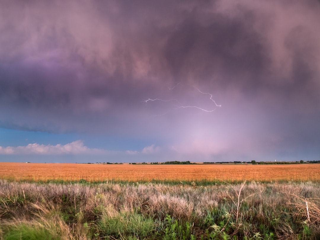
Residents across central Alberta are preparing for severe weather in Alberta as meteorologists warn of potential tornadoes. Multiple overlapping weather alerts currently cover the Edmonton region and surrounding municipalities. These dangerous atmospheric conditions will likely materialize late Tuesday afternoon. The storms bring imminent risks of damaging winds, torrential rain, and large hail. Readers will learn about the storm trajectory, safety protocols, and emergency response measures.
- Environment Canada issued tornado and severe thunderstorm watches for Edmonton and central Alberta.
- Atmospheric conditions are expected to deteriorate rapidly during the late afternoon hours.
- Residents should secure loose outdoor items and establish a household emergency plan immediately.
Why is central Alberta prone to extreme summer storms?
The geography of Western Canada plays a critical role in storm formation. Cool air from the Rocky Mountains often meets warm, humid air from the plains. This collision creates highly unstable atmospheric conditions.
Historically, this region has experienced some of Canada’s most severe convective storms. In recent decades, peak summer months have consistently brought tornado warnings to the province.
Meteorologists observe that these weather fronts can develop with extreme speed. A calm morning can rapidly transition into a dangerous afternoon storm system.
How will this severe weather in Alberta impact local communities?
The primary hazards include destructive wind gusts, large hail, and localized flooding. Heavy downpours can quickly overwhelm municipal drainage systems in urban areas like Edmonton.
Furthermore, large hail threatens local crops and residential property. Strong winds can also down power lines, causing widespread electrical outages.
Emergency management officials advise staying indoors during the peak storm hours. Drivers should avoid travel as sudden downpours can reduce road visibility to near zero.
Localized flooding on major freeways can create extremely hazardous driving conditions. Commuters should plan alternative routes or delay travel entirely.
What safety measures should residents take immediately?
First, secure all loose outdoor patio furniture and garbage bins. High winds can transform these everyday items into dangerous projectiles.
Second, identify a safe shelter space inside your home. A basement or an interior room on the lowest floor offers the best protection.
Avoid windows and exterior walls during active lightning strikes. Flying debris can easily shatter glass and cause severe injuries.
Finally, monitor local updates from the Environment and Climate Change Canada weather portal for real-time alerts. Keep mobile devices fully charged to receive emergency broadcasts.
How are municipal emergency services responding?
Local emergency crews in Edmonton are already on high alert. Drainage teams are inspecting critical infrastructure to prevent widespread street flooding.
Power utility companies have positioned repair crews in strategic locations. They aim to restore electricity quickly if falling trees damage power lines.
Furthermore, regional transit authorities are monitoring conditions closely. Some bus routes may experience delays if localized flooding blocks major roadways.
Hospital emergency departments are also preparing for potential storm-related admissions. Emergency personnel urge the public to reserve phone lines for life-threatening situations.
How do these storms affect local agriculture and business?
The agricultural sector faces significant financial risks from severe convective storms. Hail can decimate fields of wheat and canola in mere minutes.
Local businesses must also prepare for potential supply chain disruptions. Flooded roads can delay delivery trucks and impact retail operations.
Property management firms are proactively checking commercial roofing and drainage systems. Preventing water ingress remains a top priority for facility managers.
How has warning technology improved over time?
Meteorological agencies now utilize advanced radar systems to track rotating updrafts. These modern tools allow forecasters to issue warnings much earlier than in the past.
Consequently, residents receive crucial extra minutes to seek appropriate shelter before a storm hits.
What long-term trends are atmospheric scientists observing?
Meteorologists point to shifting atmospheric currents across Western Canada. Warmer average temperatures provide more energy for storm systems to exploit.
This extra energy leads to more frequent and severe convective events. Consequently, communities must adapt to these rapidly changing environmental baselines.
Researchers continue to study how changing climate patterns influence storm severity. Local governments use this data to update emergency response frameworks.
This active weather pattern underscores the growing need for robust community infrastructure. Municipalities must invest in climate-resilient systems to withstand extreme events.
By staying informed and preparing early, Albertans can significantly reduce risks to life and property. Continuous monitoring of local forecasts remains the most effective defence against nature’s unpredictable forces.


